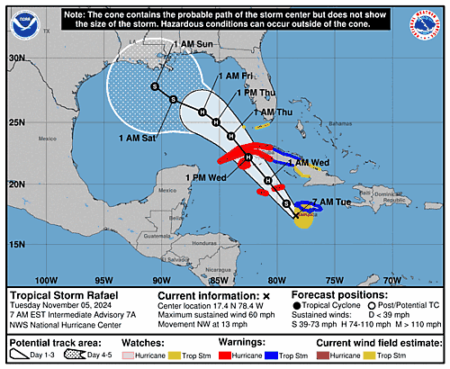
Issued at 400 AM EST Fri Nov 17 2023
000
WTNT42 KNHC 170837
TCDAT2

Potential Tropical Cyclone Twenty-Two Discussion Number   3
NWS National Hurricane Center Miami FL       AL222023
400 AM EST Fri Nov 17 2023

The disturbance remains fairly disorganized this morning. Convection
continues to burst near the poorly defined center, although the
overall pattern remains ragged with convection displaced well to
the northeast. Since the system still lacks a well-defined center
and organized deep convection, it remains a potential tropical
cyclone. The initial intensity is held at 30 kt for this advisory
cycle.

The system is moving northeastward at about 9 kt. A mid- to
upper-level trough over the Gulf of Mexico is steering the system to
the northeast, with increasing forward speed. This northeast motion
should take the disturbance across Jamaica later today, eastern Cuba
tonight, and across the southeastern Bahamas and the Turks and
Caicos Islands on Saturday. The system will merge with the trough on
Sunday, although the latest model guidance depicts that this could
occur sooner than currently forecast. There remains significant
speed differences between the global and hurricane regional models.
The NHC track leans towards the global models, which is on the
faster side of the guidance envelope near the ECMWF and GFS. The NHC
track forecast is quite similar to the previous one, just faster.

The latest global model guidance depicts that the system may fail
to consolidate convection and remaining elongated as southwesterly
vertical wind shear begins to increase, stretching the convective
structure.  Although the model guidance has trended towards a less
organized system, there remains a brief window of opportunity for
the system to become a tropical cyclone. The official NHC forecast
depicts that the disturbance could become short-lived tropical
cyclone while it moves into the west-central Caribbean and near the
Bahamas. After passing through the Bahamas, the system is forecast
merge with the aforementioned trough and become extratropical in
about 48 hours, although this could occur sooner. The NHC intensity
forecast is the same as the previous one and lies near the middle of
the guidance envelope.

Regardless of tropical cyclone formation, the most significant
hazard from this system is expected to be heavy rainfall, especially
in areas of higher terrain, across portions of Jamaica, southeastern
Cuba, and Hispaniola.


KEY MESSAGES:

1.  Potential Tropical Cyclone Twenty-Two is forecast to become a
tropical storm later tonight.  Tropical storm conditions are
possible across Jamaica, southeastern Cuba, Haiti, the southeastern
Bahamas, and the Turks and Caicos Islands through Saturday, and
tropical storm watches are in effect for these areas.

2.  Heavy rains from Potential Tropical Cyclone Twenty-Two will
impact portions of Panama, Costa Rica, Jamaica, southeast Cuba, and
Hispaniola through Monday morning. This rainfall is likely to
produce flash flooding, along with mudslides in areas of higher
terrain.


FORECAST POSITIONS AND MAX WINDS

INIT  17/0900Z 16.3N  80.3W   30 KT  35 MPH...POTENTIAL TROP CYCLONE
 12H  17/1800Z 17.7N  78.6W   30 KT  35 MPH
 24H  18/0600Z 19.9N  75.9W   35 KT  40 MPH
 36H  18/1800Z 23.0N  72.2W   40 KT  45 MPH
 48H  19/0600Z 26.4N  68.0W   45 KT  50 MPH...POST-TROP/EXTRATROP
 60H  19/1800Z 30.1N  63.8W   45 KT  50 MPH...POST-TROP/EXTRATROP
 72H  20/0600Z...DISSIPATED

$$
Forecaster Kelly/Brown

