000
ABNT20 KNHC 082341
TWOAT
Tropical Weather Outlook
NWS National Hurricane Center Miami FL
800 PM EDT Tue Oct 8 2024
For the North Atlantic…Caribbean Sea and the Gulf of Mexico:
Active Systems:
The National Hurricane Center is issuing advisories on recently
upgraded Hurricane Leslie, located over the central tropical
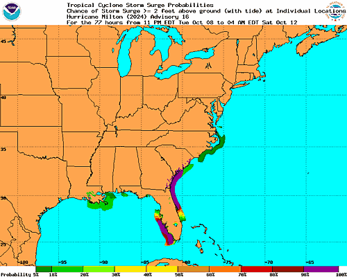
Atlantic Ocean, and on Hurricane Milton, located over the southern
Gulf of Mexico.
Southwestern Atlantic:
Last-light visible satellite imagery indicates that the area of low
pressure located northeast of the northwestern Bahamas has become
better defined on the northern edge of a region of showers and
thunderstorms. The system is already producing gale-force winds, but
environmental conditions appear only marginally favorable for
additional tropical or subtropical development over the next day or
so while the low moves northeastward to east-northeastward at around
15 mph. Upper-level winds are likely to increase further by
Wednesday night, which should end any chances for further
development. Additional information on this system, including gale
warnings, can be found in High Seas Forecasts issued by the National
Weather Service.
* Formation chance through 48 hours…low…30 percent.
* Formation chance through 7 days…low…30 percent.
Eastern Tropical Atlantic:
A tropical wave is expected to move off the west coast of Africa in
the next couple of days. Afterwards, environmental conditions appear
only marginally favorable for some limited development of this
system while it moves westward or west-northwestward across the
eastern tropical Atlantic and through the Cabo Verde Islands late
Thursday into Friday.
* Formation chance through 48 hours…low…10 percent.
* Formation chance through 7 days…low…20 percent.
&&
High Seas Forecasts are issued by the National Weather Service
under AWIPS header NFDHSFAT1 and WMO header FZNT01 KWBC, and online
at ocean.weather.gov/shtml/NFDHSFAT1.php
$$
Forecaster Papin